Log in
All resources
Create a design
1,095,938 Free Images of Maps Of Carniola
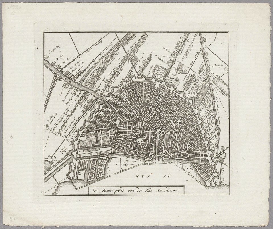
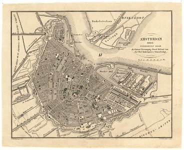
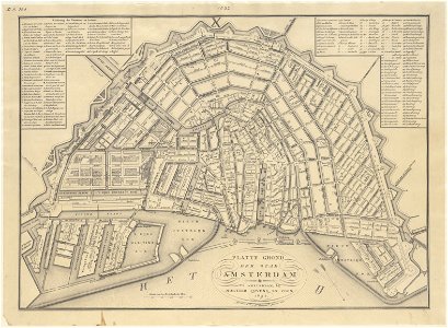
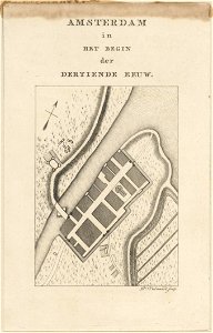
maps in the stadsarchief amsterdam
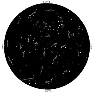
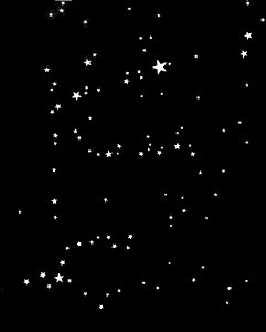
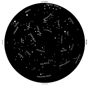
astronomical maps
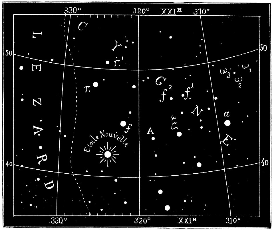
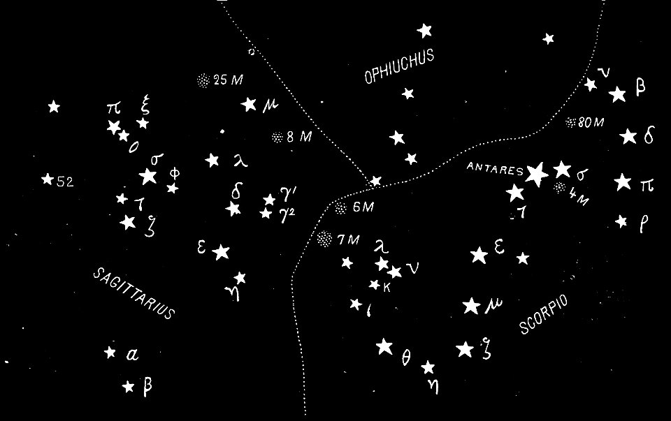
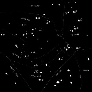
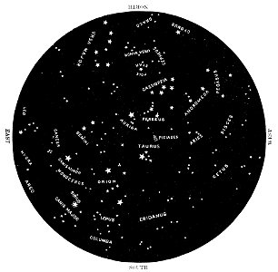
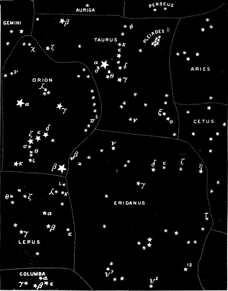
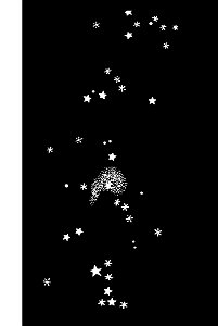
popular science monthly illustrations/volume 32
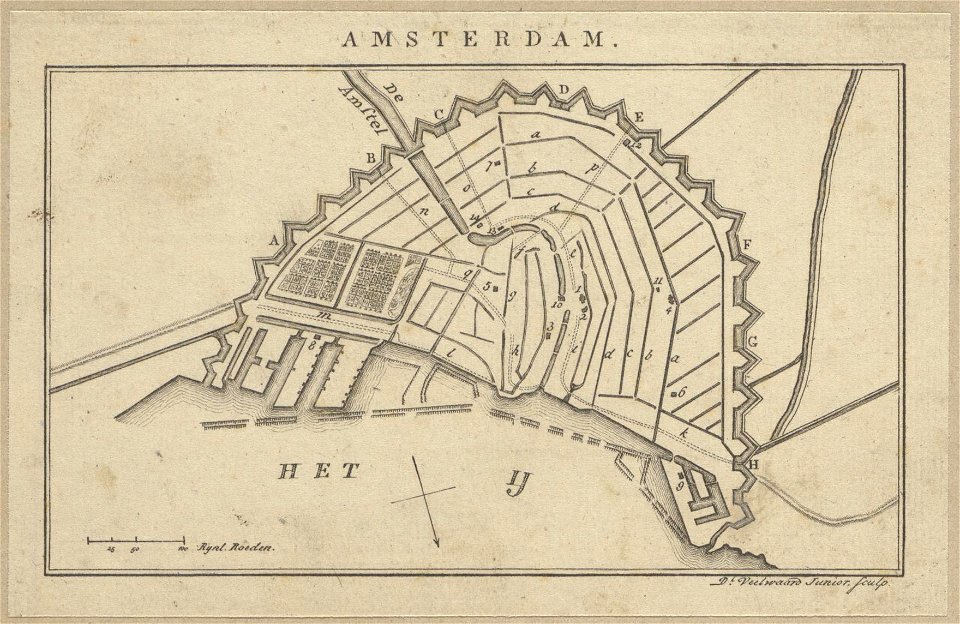
daniël veelwaard (i)
university of toronto wenceslas hollar digital collection
prints by wenzel hollar
hollar maps and plans of london
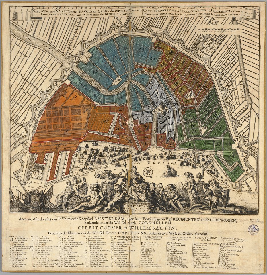
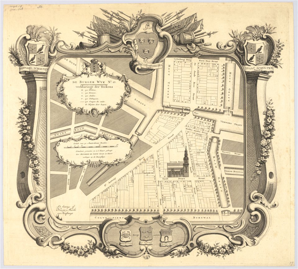
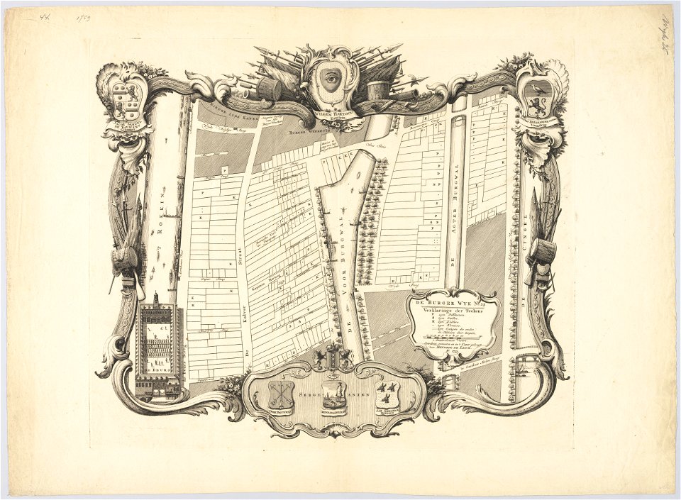
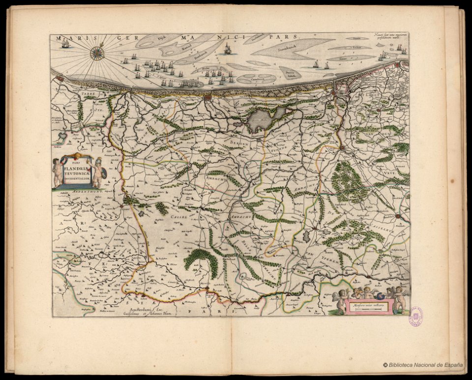
hendrik de leth
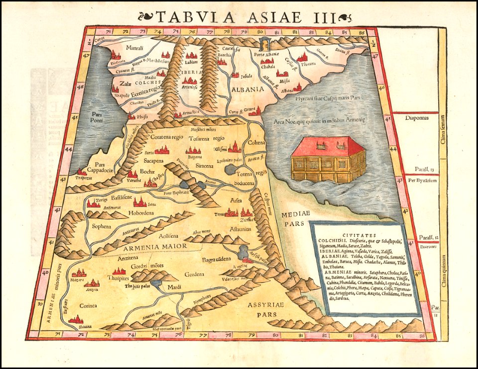
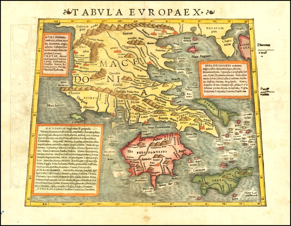
maps by sebastian münster
popular science monthly illustrations/volume 31
maps in the stadsarchief amsterdam
hendrik de leth
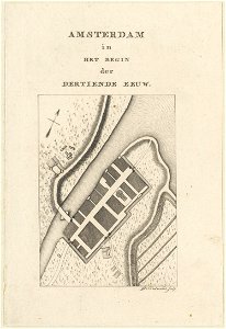
maps in the stadsarchief amsterdam
hendrik de leth
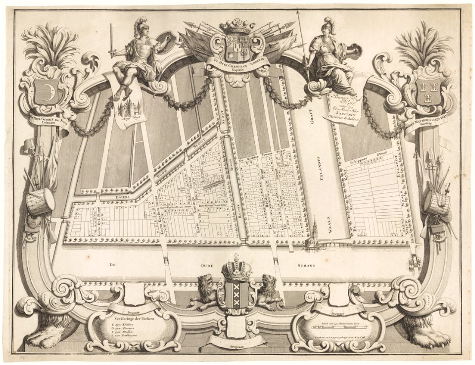
maps in the stadsarchief amsterdam
hendrik de leth
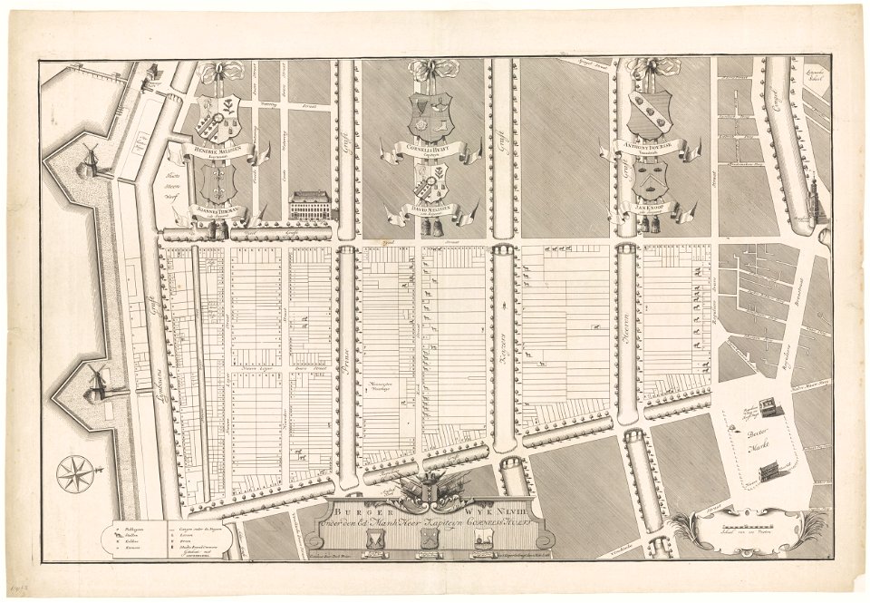
maps in the stadsarchief amsterdam
hendrik de leth
maps in the stadsarchief amsterdam
hendrik de leth
maps in the stadsarchief amsterdam
hendrik de leth
maps in the stadsarchief amsterdam
hendrik de leth
maps in the stadsarchief amsterdam
hendrik de leth
encyclopaedia universalis mundaneum
alcohol prohibition
popular science monthly illustrations/volume 11
astronomical maps
maps by sebastian münster
ptolemy's 11th asian map
ptolemy's 9th european map
maps by sebastian münster
maps by sebastian münster
ptolemy's 1st asian map
maps by sebastian münster
ptolemy's 3rd asian map
itinerarium hierosolymitanum et syriacum..., 1619
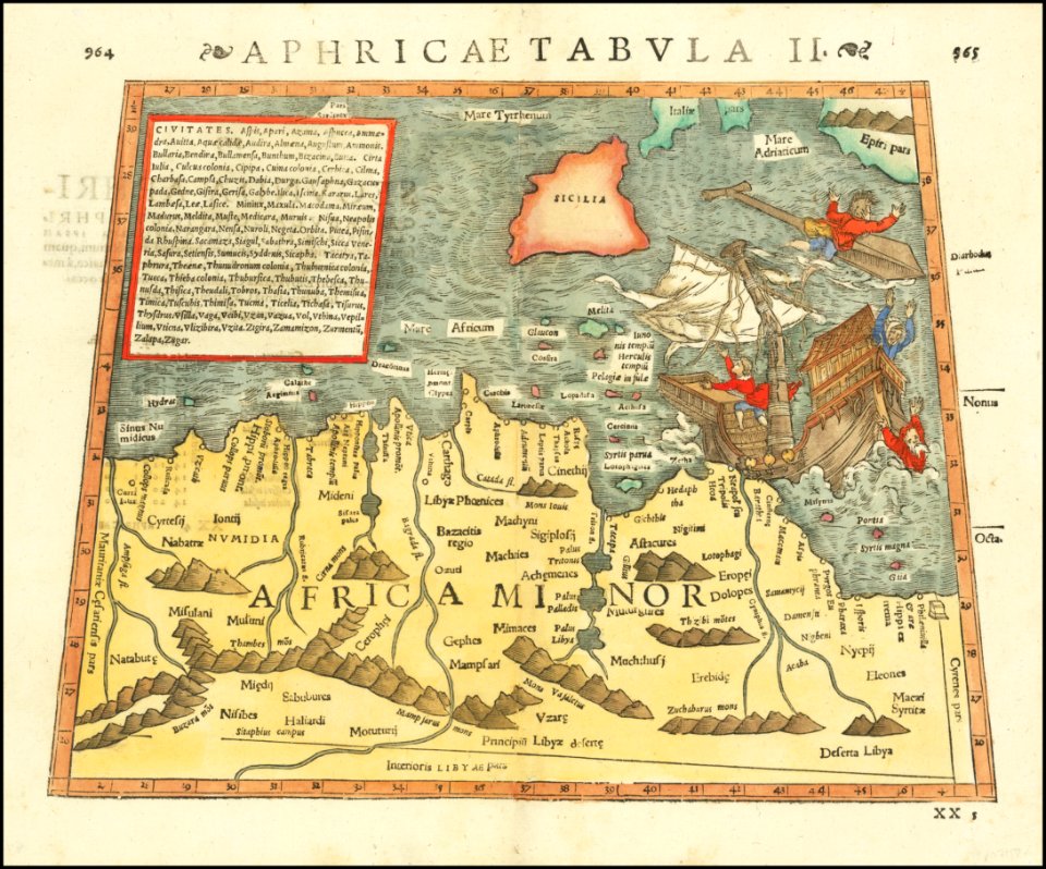
ships on maps
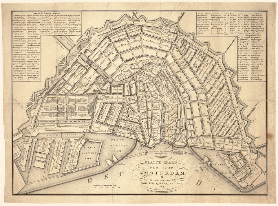
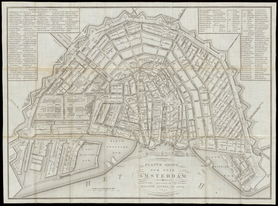
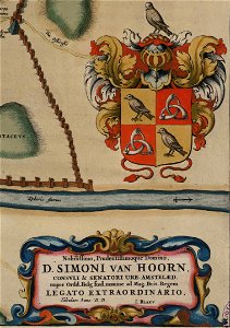
maps in the stadsarchief amsterdam
daniël veelwaard (i)
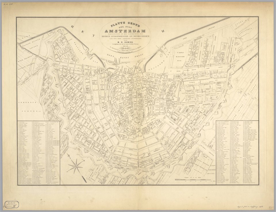
maps in the stadsarchief amsterdam
daniël veelwaard (i)
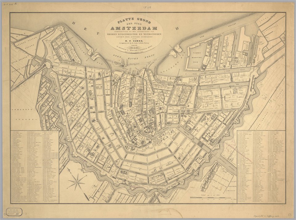
maps in the stadsarchief amsterdam
daniël veelwaard (i)
maps in the stadsarchief amsterdam
daniël veelwaard (i)
maps in the stadsarchief amsterdam
daniël veelwaard (i)
maps in the stadsarchief amsterdam
daniël veelwaard (i)
maps in the stadsarchief amsterdam
daniël veelwaard (i)
maps in the stadsarchief amsterdam
daniël veelwaard (i)
maps in the stadsarchief amsterdam
daniël veelwaard (i)
maps in the stadsarchief amsterdam
daniël veelwaard (i)
maps in the stadsarchief amsterdam
daniël veelwaard (i)
maps by gustav adolf von varendorf
dove elbe
atlante veneto (raremaps.com) volume 1
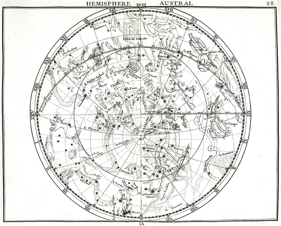
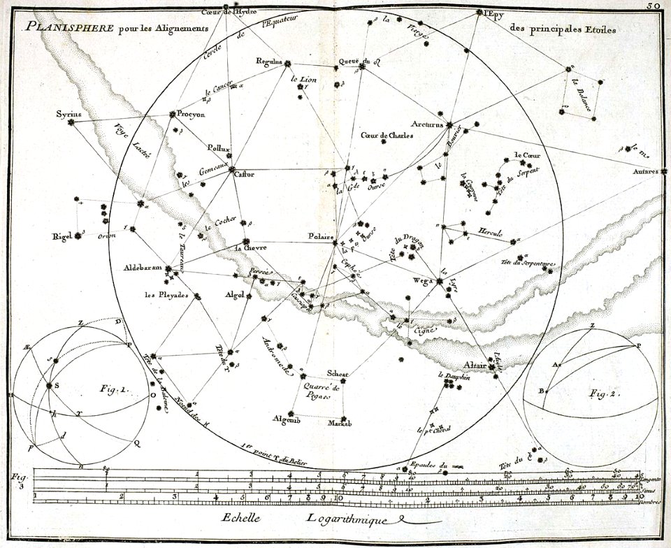
old celestial maps
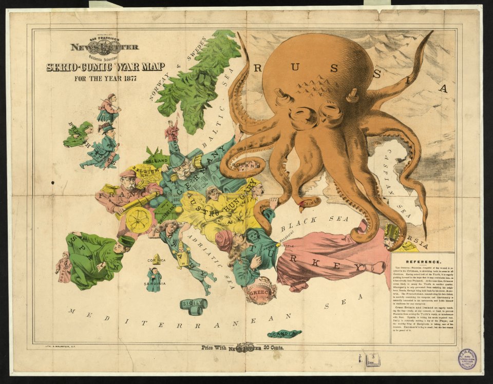
19th-century satirical maps
europe in the 1870s
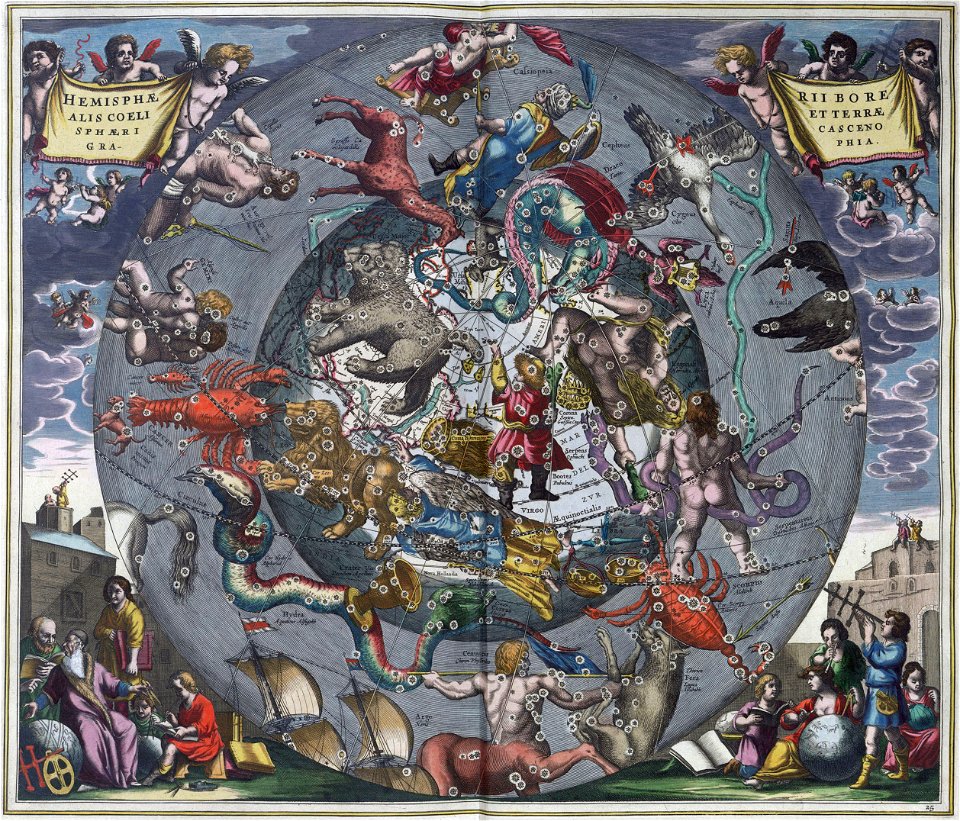
atlas coelestis by john flamsteed
old celestial maps
atlas coelestis by john flamsteed
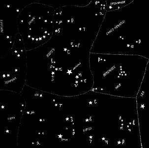
old constellation maps
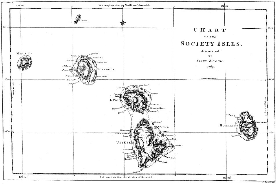
james cook (maps relating to)
18th-century manuscripts
maps by martin waldseemüller
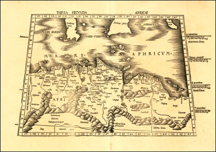
ptolemy's 2nd african map
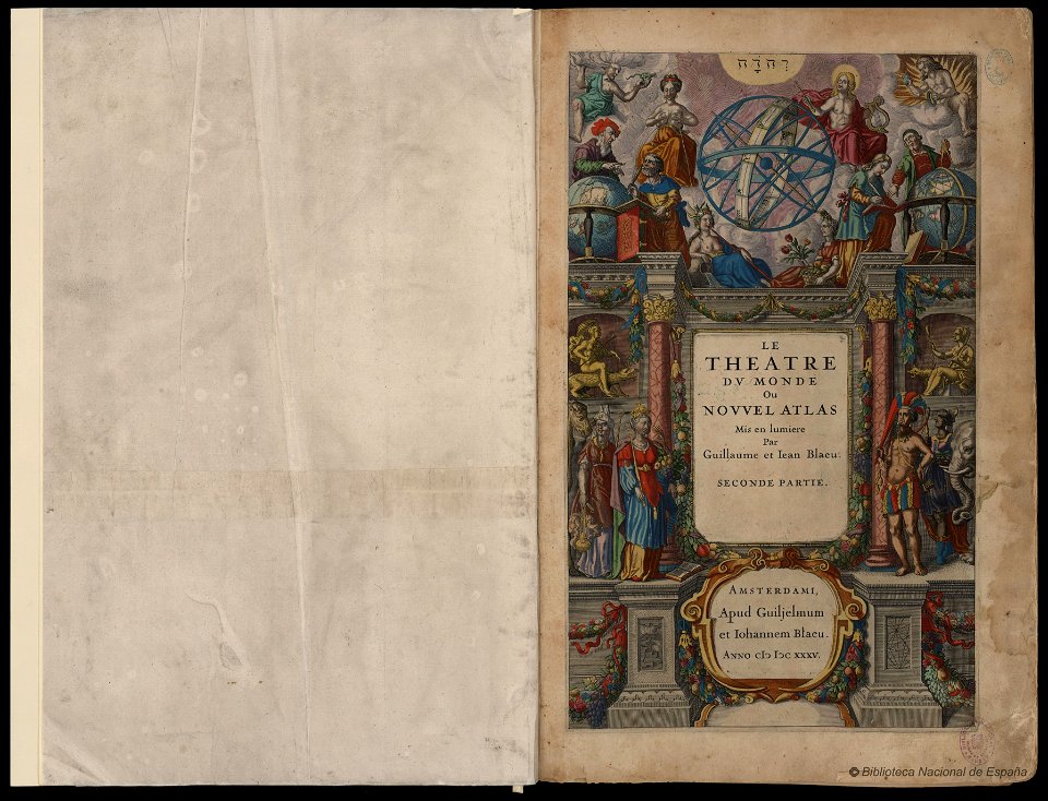
maps by willem and johannes blaeu
copper engraving
maps by willem and johannes blaeu
copper engraving
maps by sebastian münster
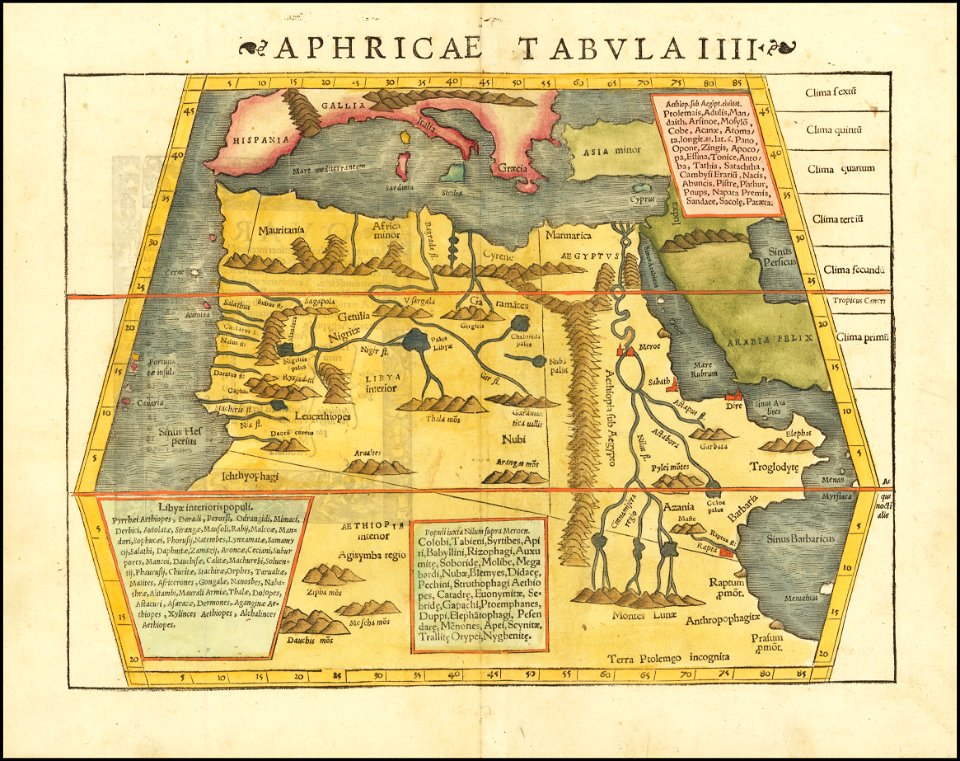
ptolemy's 4th african map
maps by sebastian münster
ptolemy's 4th african map
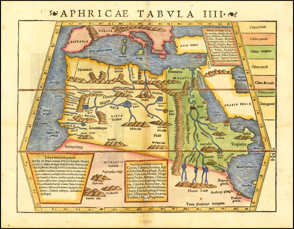
maps by sebastian münster
ptolemy's 2nd african map
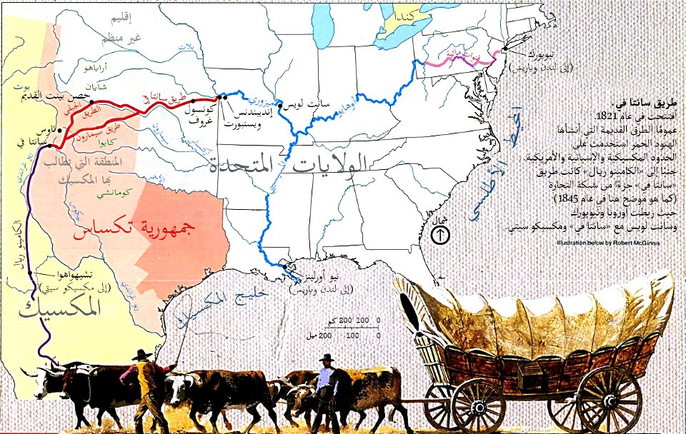
illustrations by robert mcginnis
santa fe trail-maps
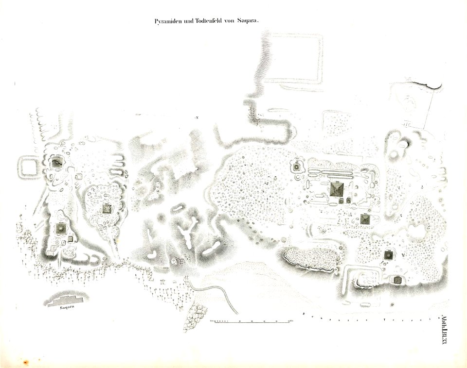
lepsius-projekt - pyramids
saqqara pyramids
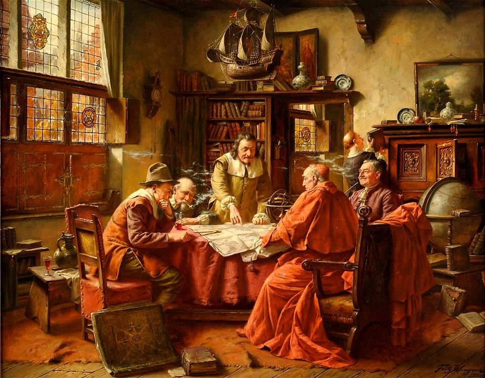
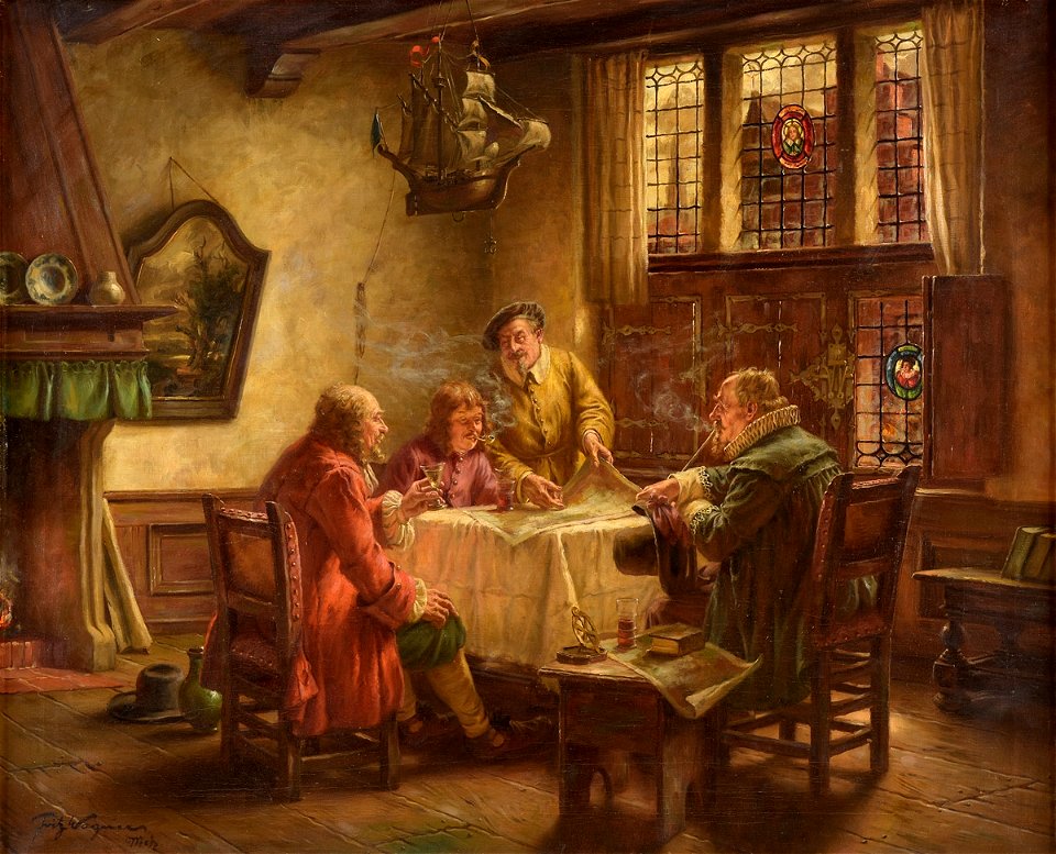
people with maps in art
fritz wagner (painter)
people with maps in art
fritz wagner (painter)
maps by willem and johannes blaeu
copper engraving
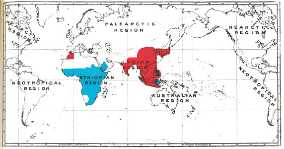
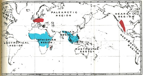
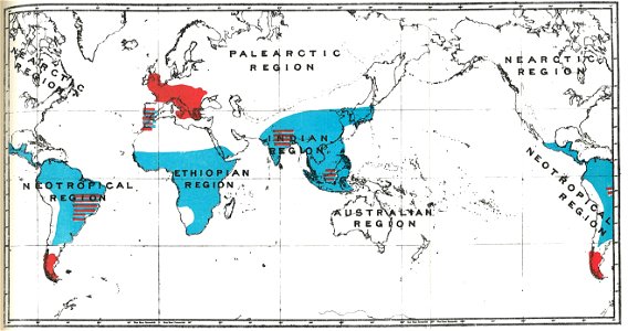
handbook to the primates
cercopithecinae
handbook to the primates
cebidae
handbook to the primates
strepsirrhini
handbook to the primates
simiiformes
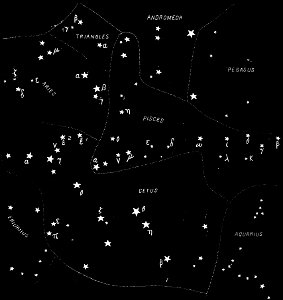
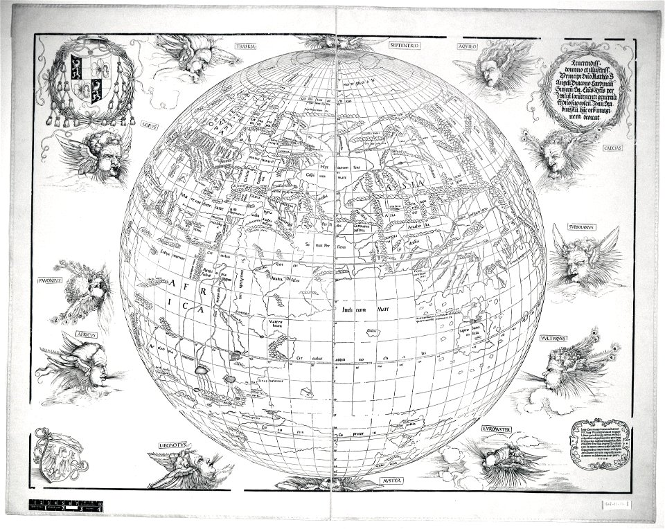
northern hemisphere
maps with figures
northern hemisphere
maps with figures
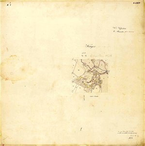
maps by royal bavarian land tax commission
kager
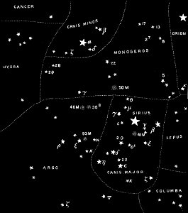
popular science monthly illustrations/volume 32
astronomical maps
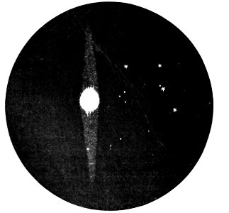
popular science monthly illustrations/volume 32
astronomical maps
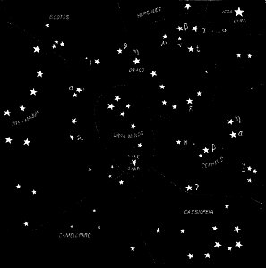
popular science monthly illustrations/volume 32
astronomical maps
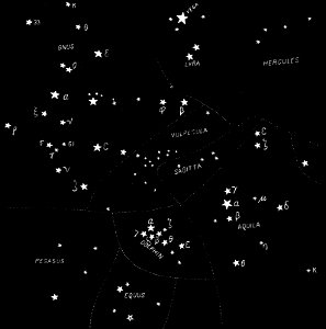
popular science monthly illustrations/volume 31
astronomical maps
popular science monthly illustrations/volume 32
astronomical maps
popular science monthly illustrations/volume 31
astronomical maps
popular science monthly illustrations/volume 32
astronomical maps
popular science monthly illustrations/volume 31
astronomical maps
popular science monthly illustrations/volume 32
astronomical maps
popular science monthly illustrations/volume 32
astronomical maps
popular science monthly illustrations/volume 32
astronomical maps
popular science monthly illustrations/volume 32
astronomical maps
popular science monthly illustrations/volume 31
astronomical maps
popular science monthly illustrations/volume 31
astronomical maps
popular science monthly illustrations/volume 31
astronomical maps
popular science monthly illustrations/volume 32
astronomical maps
popular science monthly illustrations/volume 32
astronomical maps
popular science monthly illustrations/volume 32
astronomical maps
popular science monthly illustrations/volume 32
astronomical maps
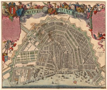
maps in the stadsarchief amsterdam
romeyn de hooghe
maps in the stadsarchief amsterdam
romeyn de hooghe
maps in the british museum
stabius world map
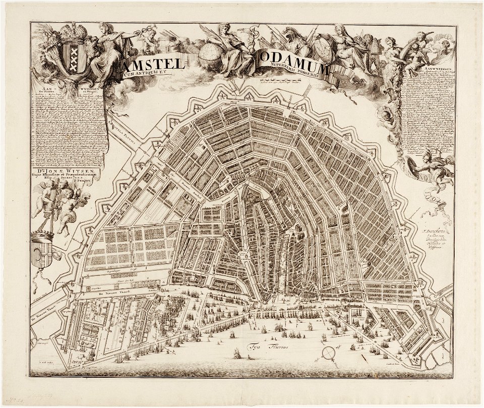
maps in the stadsarchief amsterdam
romeyn de hooghe
liber insularum archipelagi (royal museums greenwich)
1420s maps
maps in the stadsarchief amsterdam
jan caspar philips
ptolemy's 10th european map
maps by sebastian münster
maps by willem and johannes blaeu
copper engraving
orientalism
edwin long
male portrait paintings by nicholas hilliard
tudor portrait miniatures
dutch 18th-century prints in the rijksmuseum amsterdam
battles of the eighty years' war
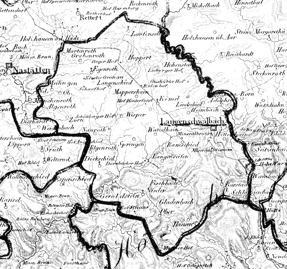
history of bad schwalbach
1828
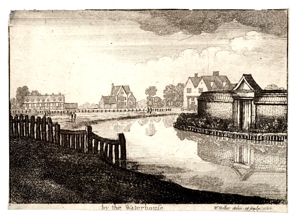
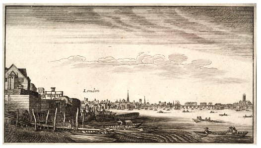
university of toronto wenceslas hollar digital collection
prints by wenzel hollar
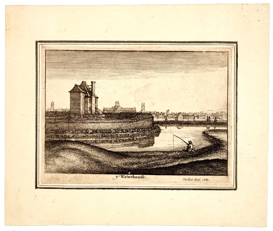
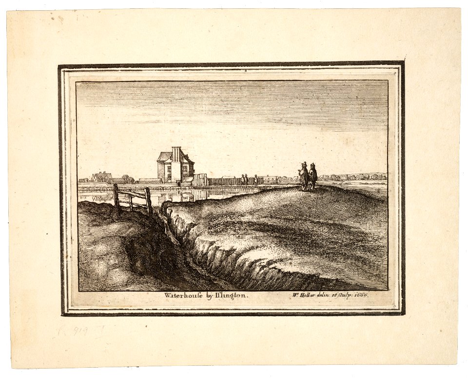
university of toronto wenceslas hollar digital collection
prints by wenzel hollar
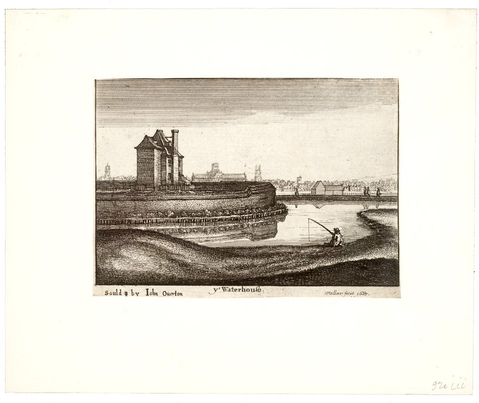
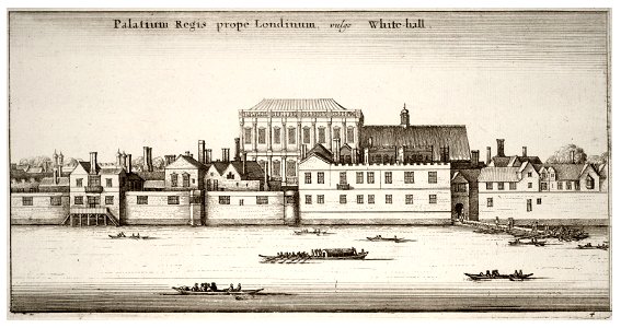
university of toronto wenceslas hollar digital collection
prints by wenzel hollar
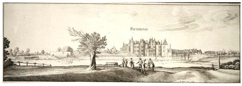
university of toronto wenceslas hollar digital collection
prints by wenzel hollar
university of toronto wenceslas hollar digital collection
prints by wenzel hollar
university of toronto wenceslas hollar digital collection
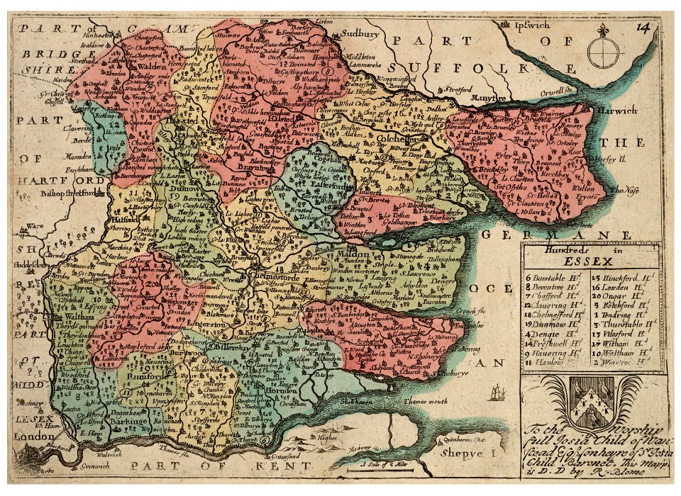
hundred (county division)
university of toronto wenceslas hollar digital collection
prints by wenzel hollar
university of toronto wenceslas hollar digital collection
prints by wenzel hollar
university of toronto wenceslas hollar digital collection
prints by wenzel hollar
university of toronto wenceslas hollar digital collection
prints by wenzel hollar
university of toronto wenceslas hollar digital collection
prints by wenzel hollar
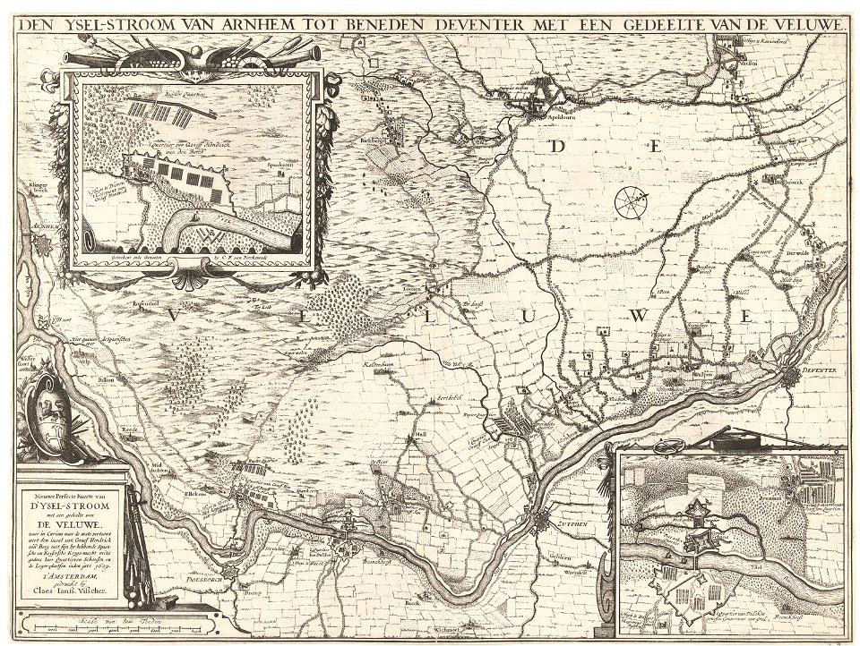
dutch 17th-century prints in the rijksmuseum amsterdam
ijssel
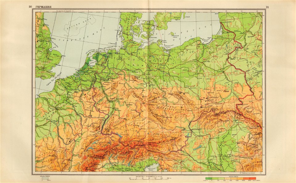
geographical atlas for the 5-6 grades of secondary school (1941)
old maps of the nazi germany
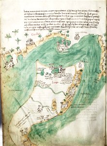
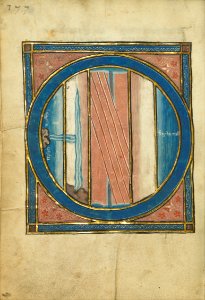
ms. ludwig xv 4 (getty museum) - bird book of hugo fouilloy
13th-century maps of the world
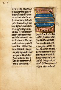
ms. ludwig xv 4 (getty museum) - bird book of hugo fouilloy
13th-century maps of the world
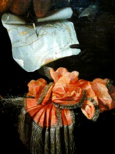
portrait of johan maurits of nassau-siegen by pieter nason (national museum in warsaw)
maps in art
old maps of slovakia
great turkish war
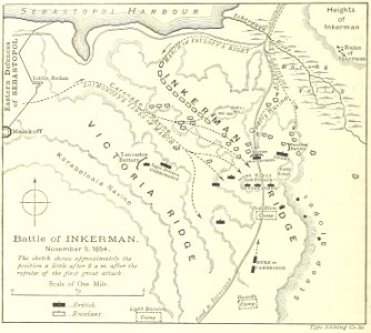
battle of inkerman
1895 drawings
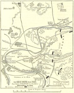
battle of villiers
1895 drawings
9001 - 9100 of 1,095,938
Next page
/ 10960